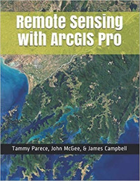
Remote Sensing With ArcGIS Pro
Tammy E. Parece, John A. McGee, James B. Campbell
Remotely sensed images are widely available and have countless potential applications. In the past, analyzing these images required specialized software. Esri’s ArcGIS Pro software includes tools that can be used by novice and experienced analysts. In this manual, we provide a series of easy-to-understand, step-by-step tutorials to guide you through image analysis processes.
By completing this series of tutorials, you will be able to:
• Manipulate data in ArcGIS Pro
• Obtain and display Landsat data
• Display image data from Landsat or other remote sensing platforms (including Sentinel and sUAS)
• Enhance and analyze remotely sensed imagery.
By completing this series of tutorials, you will be able to:
• Manipulate data in ArcGIS Pro
• Obtain and display Landsat data
• Display image data from Landsat or other remote sensing platforms (including Sentinel and sUAS)
• Enhance and analyze remotely sensed imagery.
კატეგორია:
წელი:
2019
გამომცემლობა:
Virginia Geospatial Extension Program
ენა:
english
გვერდები:
414
ISBN 10:
1797570986
ISBN 13:
9781797570983
ფაილი:
EPUB, 14.15 MB
IPFS:
,
english, 2019
 Amazon
  Barnes & Noble
  Bookshop.org
გსურთ დაამატოთ წიგნის მაღაზია? დაგვიკავშირდით support@z-lib.do-ით
 ფაილების კონვერტაცია
 ძიების მეტი შედეგი
 სხვა უპირატესობები


საკვანძო ფრაზები
დაკავშირებული კოლექციები